
Welcome to Jane’s Lodges
Celebrating our 32nd Season Owning and Representing Private Vacation Homes in Colorado. We feature Premier Vacation Rentals in Breckenridge, for your perfect lodging experience. We hope to have the opportunity to host your next Mountain Vacation!
CONTACT:
Send a Text: 970-418-4485 Or an Email: jane@janeslodges.com
Reservations:
Reservations:
Weekly, Monthly, Nightly
970-418-4485 jane@janeslodges.com
Private Homes Available for your Vacation!!
Call or TEXT Jane: 970-418-4485
Coming Soon! Our New Website !!!
Please Call or Text for Lodge Details and Availabilities!
970-418-4485
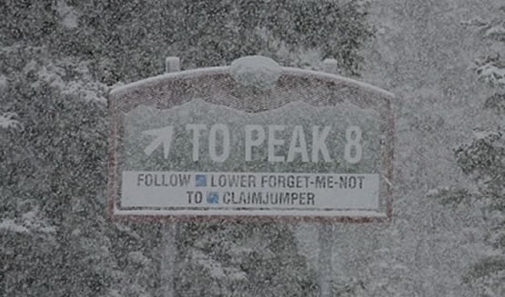
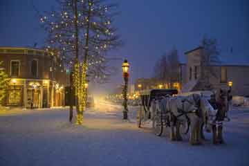
Our vacation home rentals are family and privately owned, offering alpine elegant accommodations. Visit large classic mountain lodges; including Ski In/Ski Out or Secluded and Private real estate addresses.
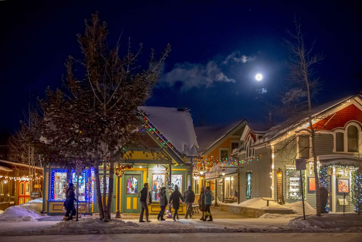
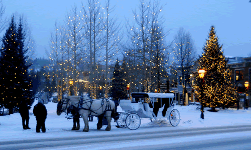
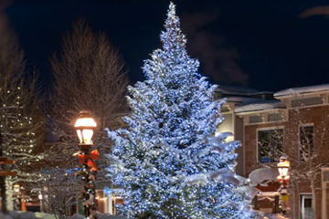
Jane’s Lodges believes that the perfect Breckenridge winter and summer vacations must include a lodging experience that your family and friends will remember for a very long time. Please tour our Vacation Homes designed for you: The traveler seeking a magical mountain vacation experience.
Our finest, amenity-filled accommodations are available year-round in Summit County’s playground… Breckenridge, Colorado.
JanesLodges Site features Professional Photography by Carl Scofield.

This was the best ski vacation ever thanks to Jane’s Lodges! We’ll be back next year!